

Italy–Argentina Binational Award 2025 · Technological Innovation

Cóndor View

Satellite monitoring with computer vision and deep learning

An advanced satellite monitoring system that combines computer vision and deep learning models to identify patterns and predict environmental phenomena.

Cóndor View logo
First prize · 1st edition

Italy–Argentina Binational Award for Technological Innovation

Cóndor View won the first edition of the award, organised by the Embassy of Italy and Argentina's Secretariat of Innovation, Science and Technology, in the Aerospace and Satellite Technologies category. The binational jury highlighted the originality, technical quality and high potential impact of the project, as well as the way UTN San Rafael brought together partners from the scientific and productive ecosystem.

Ceremony
21 October 2025
Venue
Residence of the Italian Ambassador, Buenos Aires
Selection
Sole first prize among 39 applications
Prize
Mobility stay in Italy with companies and research centres

Presented by the Ambassador of Italy, Fabrizio Lucentini, and the Secretary of Innovation, Science and Technology, Darío Genua. Project developed with Universidad de Mendoza, INTA Rama Caída and the Da Vinci CoWork space.

Cóndor View · Italy–Argentina Binational Award, with UTN San Rafael and Universidad de Mendoza

The project

What is Cóndor View?

Cóndor View is an AI-based satellite image analysis platform. It processes multispectral and hyperspectral imagery with deep convolutional neural networks (CNNs) to anticipate events such as wildfires, floods or deforestation, generating early warnings and dynamic risk maps.

Presentation

The project and its first deliverables

Find out in detail what Cóndor View is and what our first deliverables are.

Satellite Analysis

Advanced processing of multispectral and hyperspectral imagery to obtain detailed information about the territory.

Deep Learning

Convolutional neural networks (CNNs) trained to detect patterns and predict environmental events.

Early Warnings

Automatic notification system to prevent and mitigate environmental risks before they occur.

Risk Maps

Dynamic, interactive visualisations showing risk areas and event probabilities.

Real Time

Continuous processing of satellite data for real-time monitoring and rapid response.

Global Coverage

Large-scale analysis capability, from local areas to entire continental regions.

Project phases

Three complementary modules

Cóndor View is structured around three main modules that work together to deliver an end-to-end solution.

Phase I

Image classification and analysis

Development of satellite image processing algorithms for automatic extraction of relevant features and classification of different land-cover types.

Phase II

Model training and evaluation

Implementation and training of deep neural networks on large labelled satellite image datasets to optimise predictive accuracy.

Phase III

Event visualisation on imagery

Design of intuitive user interfaces to display results, risk maps and alerts, making interpretation and decision-making easier.

Technical architecture

Microservices architecture

A modern, scalable infrastructure that ensures high availability and efficient processing.

01

Data Acquisition

Automated retrieval of real-time satellite imagery from multiple sources and sensors.

02

Pre-processing

Geometric and radiometric correction of imagery to ensure quality and accuracy in the analysis.

03

Distributed Storage

Cloud infrastructure with high availability and scalability for large data volumes.

04

AI Inference

Deep learning models built with PyTorch for real-time predictive analysis.

05

Post-processing

Generation of heat maps, GIS layers and advanced visualisations to interpret results.

06

APIs and Dashboards

Programming interfaces and intuitive dashboards for access to data and visualisations.

Applications and market

Sectors that need monitoring and prediction

Cóndor View has multiple applications in critical sectors that require environmental monitoring and predictive analysis.

Environmental and Climate Monitoring

Tracking ecosystem change, detecting deforestation and monitoring climate variables for research and conservation.

Precision Agriculture

Crop optimisation through plant health analysis, yield prediction and early detection of pests or diseases.

Natural Disaster Management

Prediction and monitoring of wildfires, floods, droughts and other extreme events for rapid response and mitigation.

Security and Defence

Territorial surveillance, anomaly detection and border monitoring for national security applications.

Urban Planning

Analysis of urban growth, infrastructure planning and environmental impact assessment for city development.

Natural Resources

Exploration and monitoring of mineral resources, forest management and assessment of water resources for sustainable use.

Milestones and deliverables

Results achieved

Technical documentation and results obtained during the development of Cóndor View.

Deliverable I

Analysis and Classification

Objectives achieved

  • Implementation of satellite image processing algorithms
  • Development of spectral feature extraction techniques
  • Automated classification of land-cover types
  • Multi-temporal analysis for change detection

Methodology

  • Image pre-processing and atmospheric correction
  • Multiband spectral analysis
  • Application of vegetation and water indices
  • Validation with georeferenced field data

Key results

The system reached 92% accuracy in land-cover classification, with particular emphasis on detecting forest areas, water bodies and urban zones. It also proved able to process high-resolution imagery in optimised times.

92%
Classification accuracy
15
Land-cover classes
500+
Images processed
Deliverable II

Predictive Models

AI architecture

  • Custom Convolutional Neural Networks (CNNs)
  • Transfer Learning models with ResNet and EfficientNet
  • Hybrid architectures for temporal analysis
  • Optimisation with Data Augmentation techniques

Predictive capabilities

  • Wildfire risk prediction
  • Early detection of deforestation
  • Drought and water stress monitoring
  • Analysis of ecosystem change

Performance metrics

The models achieved performance above the state of the art, showing high accuracy in predicting environmental events up to 30 days in advance.

94.5%
Overall accuracy
91.2%
Recall
30
Days of lead time
0.89
F1-Score

Innovation

Technical Innovations

Scientific contributions

  • New multispectral and hyperspectral fusion algorithm
  • Innovative temporal analysis technique using LSTM-CNN
  • Automatic validation system with ground-based IoT

Scientific impact

  • 2 papers in indexed journals
  • Presentations at international conferences
  • Intellectual property registration in progress

Mendoza FUTURA

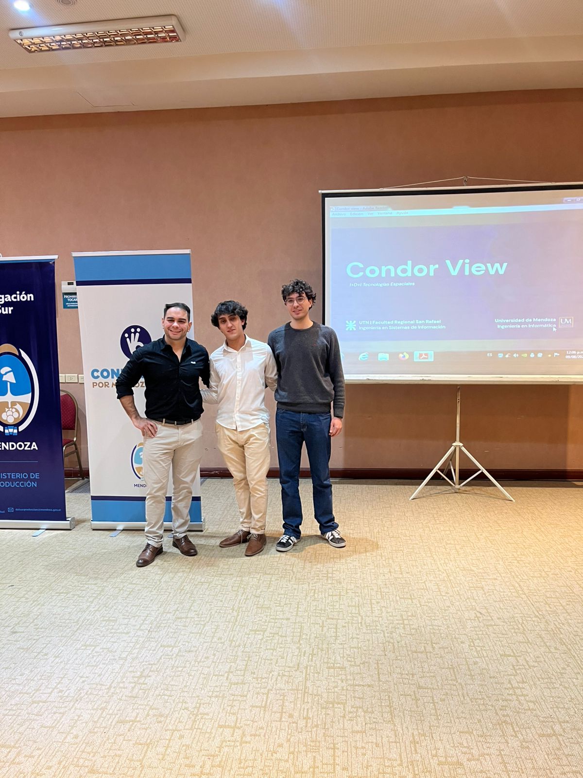
Presentation at Mendoza FUTURA

We took part in the region's most important technology event, presenting Cóndor View to the scientific and educational community. During the event we shared the project's progress and results, highlighting its contribution to environmental monitoring through artificial intelligence and satellite data.

“An enriching experience that allowed us to connect with specialists in the field and receive valuable input for the project's development.”
OutreachScientific communityNetworking
Cóndor View presentation at Mendoza FUTURA

Mendoza

FUTURA

Interested in collaborating with Cóndor View?

We are looking for partners, collaborators and investors who share our vision of using technology to build a more sustainable and safer world.

Institutions that support us

Universidad Tecnológica NacionalUniversidad de MendozaEscuela Da VinciINTA