Aventuras Deportivas
GPS tracking and telemetry for mountain sports events
A technology proposal to know where participants are during mountain races, even in areas with limited mobile connectivity, and to display their route on a digital map.

Maturity
Proof of Concept · TRL 2–3
Project overview
From the mountain to the screen
Aventuras Deportivas is developing a GPS tracking and telemetry solution for mountain sports events. The system aims to receive each participant's position, relay it from areas without mobile coverage and display it on a map to support race organisation and monitoring.
Setting
Mountain races and trail running over large terrains.
Problem
Weak or no mobile coverage along the course.
Approach
LoRa radio + gateways + backend + web map, without relying on phones.
What is Aventuras Deportivas?
Aventuras Deportivas is a university innovation project applied to outdoor sports events. Within its broader scope, current work focuses on building our own GPS (Global Positioning System) tracking system to know where each participant is during a mountain competition.
The project combines electronics, communications, software development and geospatial tools. Rather than relying on a closed foreign platform, the goal is to study, develop and validate a local solution that can adapt to organisers' real needs and evolve over time.
GPS tracking in hard-to-reach areas
In a mountain race, mobile coverage can be weak or non-existent. This lack of connectivity makes it hard to know where runners are and limits the organisers' ability to follow the event. The challenge is to obtain a useful position from the field, relay it over long distances and make it available to the system without requiring each participant to have Internet on their phone.
Solving this end-to-end chain would provide an up-to-date reference for each device, improve operational visibility during the race and lay the foundations for a tool designed specifically for events in hard-to-reach environments.
From the mountain to the screen
How does it work?
Five steps take a coordinate from the field to the organisers' map.
- 01
The device gets the position
The GPS calculates the participant's coordinates and the ESP32 prepares them for transmission.
- 02
The position travels by radio
LoRa transmits small messages over long distances without requiring mobile coverage for the runner.
- 03
Gateways receive the telemetry
Stations placed along the course collect the messages sent by multiple devices.
- 04
Data reaches the central system
The connection planned for the PoC sends the information to the backend, where it is validated and stored.
- 05
The web shows the route
Stored positions are overlaid on the map to show each participant's progress.
From the device to the map
A look at the GPS tracker sending positions and the route being displayed on the web map during the Proof of Concept simulations.
Two different, complementary tasks
Before the race · QGIS
Used to work with the terrain offline: preparing the course, analysing the relief and studying where best to place the gateways.
During the race · Mapbox
Acts as the visual stage of the website. The map stays ready and what changes are the coordinates arriving from the trackers.
Architecture
A modular architecture
The solution is designed as components: the device gets the position; LoRa carries it; gateways receive it; the backend processes it; PostgreSQL stores it; and the web application displays it.
This separation makes it possible to test each part independently and replace technologies if PoC evidence shows a better alternative.
Where we are
Development and early simulations
The overall architecture is already defined as a working baseline, and the team has started simulating positions to check how data is received, processed and stored. This stage corresponds to preparing a Proof of Concept at TRL 2–3 maturity.
The system is not yet presented as a finished solution, nor has it been validated in a real race. Full integration of device, communication, gateway, backend, database and visualisation will be demonstrated progressively through controlled tests and, later on, field tests.
Design and technical foundations
Problem definition, architecture, components, data flow and initial software structure.
- 2
Development and simulations
Current phaseBuilding the backend and testing with simulated positions to validate processing and persistence.
- 3
Integration and field tests
Connecting the devices, LoRa, gateways, Internet access and route visualisation in real conditions.
Goals and outlook
What do we aim to achieve?
Immediate goal
Show that a coordinate generated in the field can travel end to end through the whole technology chain: GPS tracker, LoRa communication, gateway, Internet connection, backend, database and web map. This validation will reveal which parts work, which need adjusting and which decisions should be revisited before moving towards a larger deployment.
Medium term
Become a reusable technology foundation for organising and supporting sports events in areas with limited connectivity. A local, modular and scalable alternative that reduces dependence on external solutions and creates experience, knowledge and technology-transfer opportunities from the university.
Applications and outlook
Aimed mainly at mountain races, trail running and other outdoor events on long courses or with low connectivity. It also serves as a learning and research platform.
- IoT telemetry
- Long-range communications
- Geospatial analysis
- Real-time web systems
Its value lies not only in showing a dot on a map, but in integrating several technologies to meet a concrete need of the territory and of sports organisers.
Team
The people who make it possible
Project developed within the Extension and Innovation programme of Universidad Tecnológica Nacional, Facultad Regional San Rafael.

Lourdes Rizza
Systems Engineering student
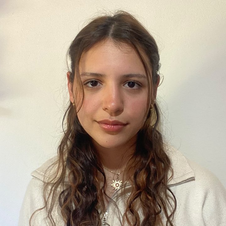
Angelina Magallanes
Systems Engineering student
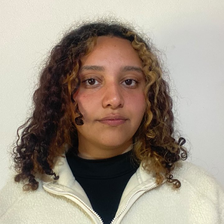
Maite Puente
Systems Engineering student
Valentina Peñasco
Systems Engineering student

Sharon Vico
Systems Engineering student

Milagros Franco
Industrial Engineering student
Do you organise mountain events or are you interested in IoT telemetry?
We are looking for organisers, institutions and collaborators for upcoming controlled and field tests.